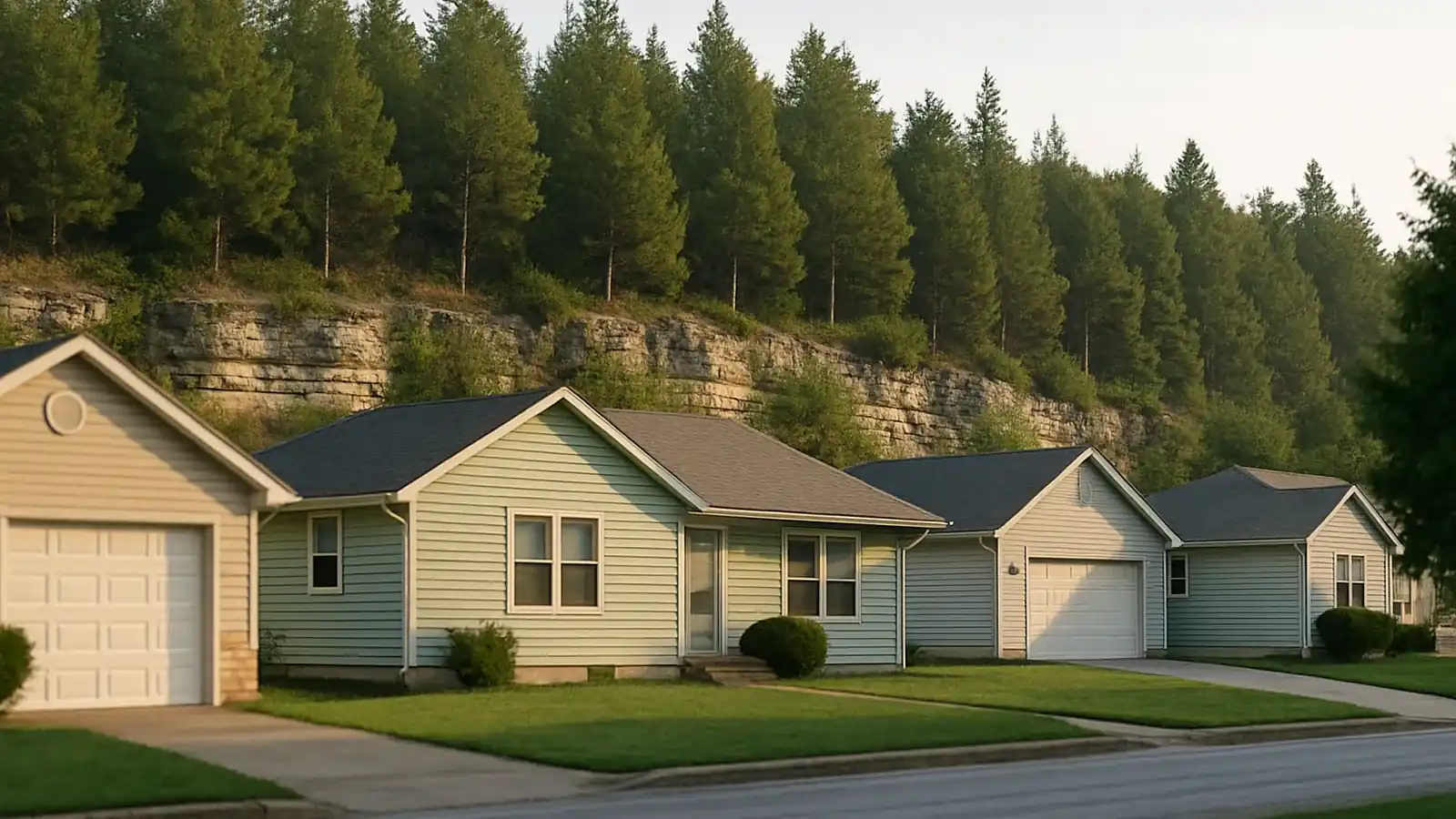
Springfield Foundation Co. serves the corridor: Springfield plus Nixa, Ozark, Republic, Battlefield, Willard, Strafford, Rogersville, Marshfield, and Sparta, and a good evaluation there is measured, with the karst read.
Choose your community
NixaOzarkRepublicBattlefieldWillardStraffordRogersvilleMarshfieldSparta
Every town we cover, and what changes there
Each of these has its own page, because the ground and the housing stock are not the same across the region. The short version:
Nixa: Growth on a carved shelf
Nixa tripled in a generation, and the subdivisions that did it (off Main, out toward McCracken and Rosedale) were graded fast onto the plateau's thin soils. Read what that means for a Nixa property.
Ozark: A river through limestone
Ozark drapes over the Finley River's valley: historic square on the flats, newer subdivisions climbing the bluffs both directions. Read what that means for an Ozark property.
Republic: Flat miles, thin blanket
Republic's growth ran west across genuinely flat plateau: subdivision after subdivision on a clay blanket that runs thin over limestone. Read what that means for a Republic property.
Battlefield: Small city, full geology
Battlefield keeps its scale modest (ranches and two-stories from the 1970s onward) but sits on the plateau's full package: thin residual clay, shallow limestone, and drainage negotiating with Wilson's Creek's valley. Read what that means for a Battlefield property.
Willard: Open ground, honest cycles
Willard's mix (older farm properties, 1990s-2020s subdivisions, long horizons) sits on open plateau where the thin clay runs its full seasonal amplitude: charged hard by spring, baked hard by August, with little canopy to soften either. Read what that means for a Willard property.
Strafford: East toward the deeper carving
Strafford's stretch of the plateau leans into livelier karst. The corridor east of Springfield carries well-documented features, losing streams, and ground where the limestone's plumbing runs closer to daily life. Read what that means for a Strafford property.
Rogersville: Acreage-scale water
Rogersville trades subdivisions for elbow room: big lots, rolling ground, houses placed by view rather than by grading plan. Read what that means for a Rogersville property.
Marshfield: High-shoulder plateau
Marshfield sits high on the plateau (among the highest incorporated points on Route 66) where the limestone runs close and the clay blanket runs thin even by Ozarks standards. Read what that means for a Marshfield property.
Sparta: Small town, serious geology
Sparta's modest grid and acreage fringe sit on the plateau's eastern reaches, where Christian County's karst runs demonstrably active. This corner of the county maps features generously and its drainage dives underground with enthusiasm. Read what that means for a Sparta property.
Same limestone, different chapters
The plateau tells local stories: Nixa's fill clocks over active county karst, Ozark's river-valley splits, Republic's flat thin perch, Strafford and Sparta out where the carving runs livelier, Marshfield high on the shoulder where rock concludes arguments quickly. Each page reads its own chapter; the evaluation reads your specific lot. Between towns? Ask: corridor travel should be quoted honestly.
Where the rock runs shallow, and where the fill runs young
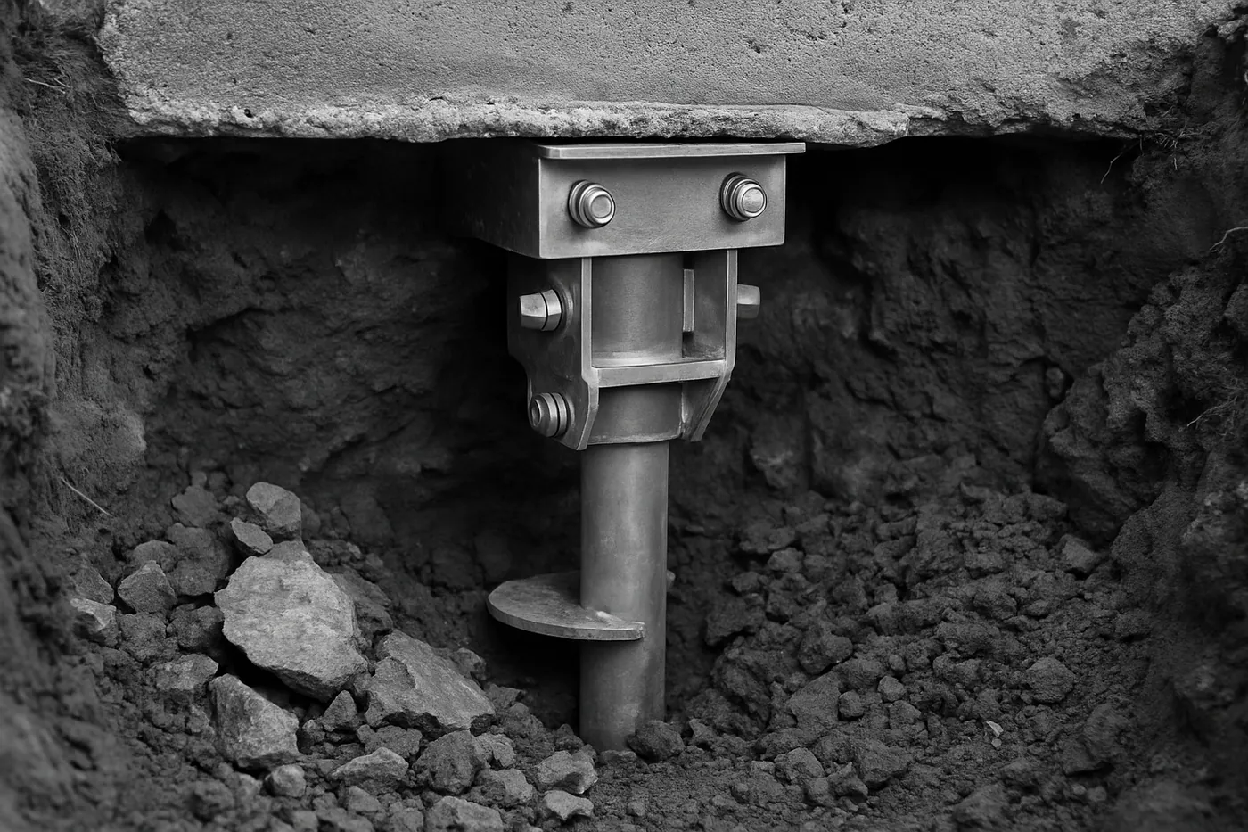
Two clocks tick under this service area at different speeds. The growth-corridor communities (Nixa, Ozark, Republic, and the newer edges of Battlefield) converted pasture to subdivision fast enough that builder fill is still consolidating under ten- and twenty-year-old slabs; their evaluations lean on distinguishing ordinary fill settlement from anything the county's karst database should hear about. The plateau-edge communities (Strafford, Sparta, Rogersville, Marshfield) sit where the limestone carving runs livelier and the soil runs thinnest; rock concludes arguments quickly there, which makes piering economical and drainage design decisive. Willard rounds the ring on the calmer northwest shoulder. Every town page above reads its own version; none of them are interchangeable, because the rock under them isn't.
The storm-diary habit
One practical norm this plateau rewards: date your observations. Because water here moves through rock on storm schedules, a crack that "appeared sometime" is hard to diagnose, while a crack you can date to the week of a specific gully-washer tells the evaluation exactly which mechanism to probe. Photos with dates, a pencil mark with a month written beside it, a note on which storms put water in the basement: homeowners who keep the diary consistently get tighter diagnoses and smaller scopes, because the instruments start with the story half-told. It's free, and it's the single most useful thing to do before the visit.
What it means when we say we cover a town
It means we pass your request to a local specialist for an evaluation at your address, on the same terms as in Springfield. Ask for the same laser floor survey and crack measurements, a written scope afterwards, and travel quoted as its own line rather than buried inside the others. If a job is far enough out that travel is material, ask to see that number before you agree to anything.
Foundation work is scheduled, not urgent, so ask whether an outlying address changes the timing.
These 9 communities share ground this site covers in enough depth to describe before anyone arrives. That is the honest boundary: not a radius drawn on a map, but the places whose soil and housing stock we explain here.
Coverage questions
Is there an extra charge to come out to the outlying towns?
Ask for travel to be quoted as its own line when it applies, and to see it before agreeing to anything. It should not be folded into the price of the work, because a scope you cannot read is a scope you cannot compare against anyone else's.
My address is not on the list. Is it still covered?
Usually, and it is worth asking. The list is the area this site covers in depth, not a hard boundary. Somewhere between two of these towns is almost always a yes.
Is the first visit free, everywhere on this list?
Many local specialists don't charge for the first visit, but it depends on the company. Ask when the specialist calls, before they come out. Ask for the laser floor survey, crack measurements and written findings whether or not you go ahead, and whether or not the specialist ends up quoting the work.
Why does the price differ between towns for the same job?
Because the ground does. Each town page above explains what changes locally, and the quote follows what the visit measures at your specific address rather than an average for the region.
Get a Springfield foundation evaluation
Tell us what the house is doing (cracks, sinking corners, doors gone stubborn, water where it shouldn’t be) and we'll pass your request on for an evaluation. A local specialist who works in Springfield will call you back.